
Shelter Valley · Scissors Crossing · County Road S-2
SEO Agency In Shelter Valley, CA
Eclipse Marketing is the founder-led SEO agency for Shelter Valley and the S-2 desert gateway, from Scissors Crossing south through Earthquake Valley to Blair Valley. We put campgrounds, outfitters, ranch services, contractors and land sellers in front of the hikers, campers and buyers searching for them on Google Maps, in Google results and in AI answers, working from our downtown San Diego SEO office.
- Top 3 on Google within 12 months, guaranteed
- 1 client per industry along S-2 and SR-78
- Reports tied to calls, bookings and orders
★★★★★Rated 5.0 on Google
The short answer
What An SEO Agency In Shelter Valley, CA Does For Your Business
Shelter Valley has no Census count of its own and state park land around it. Most of the people who will pay you are still an hour or more away, deciding on a phone screen.
An SEO agency in Shelter Valley makes your business the one people find before they drive County Road S-2: on Google Maps at Scissors Crossing, in Google results while they plan an Anza-Borrego weekend from San Diego, and in answers from ChatGPT and Google AI. Eclipse Marketing does this for businesses from Julian to Blair Valley, with 1 client per industry and a guaranteed Top 3 Google ranking within 12 months.
- Who
- Eclipse Marketing, a founder-led SEO agency run by Michael Vale
- Area
- Shelter Valley, Scissors Crossing, Earthquake Valley and Blair Valley, all mailed as Julian, CA 92036
- Services
- Local SEO, Google Business Profile, technical SEO, content, schema and AI search
- Guarantee
- Top 3 on Google in 12 months, 1 client per industry
Local search detail
1 Valley, 3 Names, 4 Ways To Spell 1 Address
Google and AI tools decide whether 2 listings are the same business by comparing name, address and phone. Out here, the place goes by 3 names and the main road carries 3 more: County Road S-2, the Great Southern Overland Stage Route of 1849 and, north of the crossing, San Felipe Valley Road. Listings drift apart without anyone noticing.
Earthquake Valley
The official name of the basin on USGS topographic maps, including the 1959 edition.
Shelter Valley
From the Shelter Valley Ranchos subdivision, filed with San Diego County in 1962.
Julian, CA 92036
The town about 15 road miles west that Shelter Valley addresses print.
Same campground, 4 street spellings
In October 2026 we compared how travel and camping directories print the address of 1 campground on S-2. Same business, 4 versions:
- 7878 Great Southern Overland Stage Route Directory 1
- 7878 Great Southern Overland Stage Rt Directory 2
- 7878 Great Southern Overland Stage Rd of 1849 Directory 3
- 7878 Great Southern Overland Directory 4
What we do about it
Google’s Business Profile guidelines ask for a precise, accurate address. We build every listing around 1 version of it.
- Lock 1 name, address and phone format that matches your mail and your Google Business Profile.
- Correct the top directories, map apps and camping and travel sites to that exact version.
- Add schema and page copy that tie Shelter Valley, Earthquake Valley and Julian 92036 to your business, so search engines read all 3 names as 1 place.
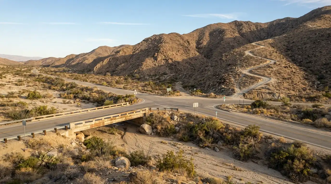
Mile markers
Shelter Valley In 6 Numbers That Shape Your SEO
No Census count, a fixed number of lots and state park land around the valley. These are the figures we plan around.
Anza-Borrego Desert State Park, the largest state park in California and about 1/5 of San Diego County, wraps the valley.
From Scissors Crossing to Julian on SR-78, the nearest town for groceries, fuel and a hitch for hikers.
How far the Pacific Crest Trail has run from the Mexican border when it crosses SR-78 at Scissors Crossing.
The year the Shelter Valley Ranchos subdivision map was filed, which gave the valley its community name.
The state park acquired land north of the community. With park land around it, the valley has little room to add lots.
International Dark Sky Communities on either side: Borrego Springs, California’s first in 2009, and Julian in 2021.
What it means for your SEO: neighbors alone rarely fill a calendar here. Most growth comes from hikers, campers, day-trippers and new landowners who search before they arrive, so your Maps profile and pages do the selling long before anyone reaches Scissors Crossing.
Sources: California State Parks; San Diego Reader trail guide; Pacific Crest Trail mileage logs; San Diego County Recorder Map No. 4968 (1962); Borrego Springs Dark Sky Coalition and Borrego Sun (2021).
Who is searching
4 Kinds Of Customers Search For Shelter Valley Before They Arrive
Each group types different words and decides at a different point on the road. We build a page and a Maps plan for each one you serve. All 4 pass through Scissors Crossing, where S-2 meets SR-78 at the north end of Earthquake Valley.
- 1
PCT hikers
Northbound thru-hikers reach Scissors Crossing about 77 miles in, mostly in spring, needing water, food, a shower, laundry or a ride.
Typical searches
resupply near Scissors Crossinglaundry Julian PCTride to Julian - 2
RV, horse and tent campers
Weekenders from San Diego and beyond comparing hookups, corrals and pet rules before they book.
Typical searches
RV park near Anza-Borregohorse camping San Diego Countyfull hookup camping Julian - 3
Desert day-trippers
Wildflower, stargazing and history visitors driving SR-78 to Borrego Springs or S-2 to Blair Valley, deciding where to stop on the way.
Typical searches
Anza-Borrego wildflowersstargazing near San DiegoBlair Valley camping - 4
Landowners and the trades they hire
Buyers of 1 to 5 acre ranch parcels on private wells, plus the well, propane, solar, fencing and building crews they call after closing.
Typical searches
land for sale Julian 92036well pump repair Juliansolar installer Julian CA
Seasonal search plan
The Desert Runs On A Reverse Calendar
Coastal businesses peak in summer. On S-2, the busy months run October to May, and summer in the park often tops 100°F. The Anza-Borrego visitor center opens daily from October 1 to May 31, and our SEO calendar follows the same clock. The bars are our planning read of the season, not search-volume data.
Peak: wildflowers and the PCT hiker waveBusy: cool-season camping and dark skiesSlow: summer heat
Refresh photos, hours, prices and seasonal offers on Google before the October opening.
Publish wildflower, PCT and spring-break pages 6 to 8 weeks ahead so they are indexed before the peak.
Weekly Maps posts and review requests at checkout, while the most people are searching.
Technical fixes, new content and links while traffic is low, so you start October ahead.
What we do
SEO Services For Shelter Valley Businesses
6 pieces of work, each tied to a phone call, booking or order you can count.
Google Business Profile and Maps
Categories, services, photos, hours and weekly posts set up for searches made at Scissors Crossing and on SR-78, where Maps decides who gets the stop.
Town and service pages
Separate pages for Shelter Valley, Julian, Borrego Springs and each service, so every search lands on the page that answers it.
Technical SEO
Fast, light pages that load on a weak mobile signal, clean indexing, and booking or call buttons that work on the first tap.
Listings and address cleanup
1 version of your name, S-2 address and phone across directories, map apps and camping sites, matched to your Google profile.
Reviews
A request flow at checkout or job completion that asks guests and customers to name the place and the service in their own words.
Schema and AI visibility
Structured data and plain answers that let ChatGPT, Google AI and Maps confirm who you are, where you are and what you offer.

See the full SEO service for San Diego County, or our digital marketing services if you want Google Ads, Meta Ads or a new website running beside SEO.
Who we work with
Built For Businesses That Sell To The S-2 Corridor
We take 1 client per industry in this area, so we are selective about who that is.
A strong match if
- You serve travelers on SR-78 or S-2, or customers anywhere in Julian 92036
- You already bring in steady revenue and want SEO as a second channel
- You can collect reviews from guests and customers after each stay or job
- You want 1 team to own your Maps profile, pages, listings and AI visibility
Not a match if
- You need leads this week. Paid ads fit that better than SEO
- You want a monthly PDF instead of booked calls and orders
- You are not willing to fix your business name or address across listings
How it works
Our 12-Month Climb To The Top 3 In Shelter Valley
The PCT climbs out of Scissors Crossing into the San Felipe Hills 1 switchback at a time. Ranking works the same way: each step sets up the next.
- Week 1
Free 30-minute strategy call
We look at your Maps position, listings and site with you, live.
Trailhead - Weeks 1-2
Map the keywords that make money
The searches hikers, campers and landowners use, ranked by what they are worth to you.
First switchback - Months 1-3
Audit, fix and build
Address cleanup, Google profile, technical fixes and your first town and service pages.
The climb - Months 3-9
Match the leaders, then pass them
Reviews, links and content until you out-signal the businesses above you.
Ridgeline - By month 12
Top 3 on Google
Guaranteed for your main search terms, tracked against calls and bookings.
Summit
Where can I camp with full hookups near Scissors Crossing this weekend?
Options near Scissors Crossing include [Your business], about 4 miles south on County Road S-2 in Shelter Valley, with full hookups and guest reviews that mention the PCT and Blair Valley.Pulled from listings, reviews and site content that agree with each other
AI search
How Shelter Valley Businesses Get Named In ChatGPT And Google AI
AI tools name the businesses they can confirm from more than 1 source. We give them 4 things to confirm.
- The same facts everywhereName, address, phone and hours match across Google, directories and your site.
- Reviews that name the placeGuests mention Shelter Valley, Scissors Crossing or S-2, which links your business to those searches.
- Pages that answer firstEach page opens with a direct 1 to 2 sentence answer AI tools can quote.
- Schema that connects the namesStructured data ties Shelter Valley, Earthquake Valley and Julian 92036 to 1 business.
Results
Results That Count
We skip the dashboard theater. What counts: more booked calls and orders, better leads and a lower cost to win each customer.

Founder-led
You Work With Michael Vale, Not A Junior Account Manager
Michael built his own marketing company from the ground up. He runs your strategy sessions himself, and your account stays with him after the contract is signed.
Michael Vale, Founder, Eclipse Marketing
FAQ
Shelter Valley SEO Questions, Answered
Still deciding? Ask Michael directly on a free 30-minute call.
What does an SEO agency in Shelter Valley, CA do?
It makes your business show up when people search for what you sell around Shelter Valley, Scissors Crossing and County Road S-2: in the Google Maps pack, in regular Google results and in answers from ChatGPT and Google AI. Eclipse Marketing handles your Google Business Profile, listings, website pages, reviews and schema, and guarantees a Top 3 Google ranking within 12 months.
Do you have an office in Shelter Valley?
No. We work from our downtown San Diego office at 600 B St and meet Shelter Valley clients by phone and video. Your Google Business Profile uses your own address, so our office location does not affect where you rank.
Should my listing say Shelter Valley, Earthquake Valley or Julian?
Use the address your mail arrives at, which for Shelter Valley is Julian, CA 92036. Then use Shelter Valley, Scissors Crossing and Earthquake Valley in your business description, website pages, posts and schema, so Google and AI tools connect all of those names to you.
How long does SEO take for a business near Scissors Crossing?
Listing and Google Business Profile fixes can move your Maps position within weeks. Pages and reviews build over months. Our guarantee is a Top 3 Google ranking for your main search terms within 12 months.
Can SEO help a business that slows down in summer?
Yes. Summer is when we do technical fixes, new pages and link work, so your pages are indexed and ranking before the October to May season. During the peak we shift to Maps posts and review requests.
How do Shelter Valley businesses show up in ChatGPT and Google AI answers?
AI tools name businesses they can confirm from more than 1 source. Matching listings, reviews that mention Shelter Valley or Scissors Crossing, pages that answer the question in the first 2 sentences, and schema that ties your business to the area all raise your chances of being named.
Who is a good fit for Eclipse Marketing?
US businesses that already bring in consistent revenue and want SEO as a second channel. We take 1 client per industry in the Shelter Valley and S-2 area, so the first business in each category to sign holds that spot.
Local history
A Stage Stop Before It Was A Subdivision
The valley has sold to travelers for more than 160 years. The San Felipe Valley and Stage Station marker, California Historical Landmark 793, sits 0.9 mi northwest of Scissors Crossing.
- 1858-1861
Warren F. Hall runs the San Felipe home station of the Butterfield Overland Mail near today’s Scissors Crossing.
- 1860s
Banning stages and the military use the station during the Civil War.
- 1962
The Shelter Valley Ranchos subdivision map is filed, and the community gets its name.
- 1998
Anza-Borrego Desert State Park acquires land north of the community.
- 2012
After wildfires in 2011 and 2012 are contained with no structures lost, the volunteer fire station is improved.
- 2026
Hikers, campers and landowners still pass through Scissors Crossing. Search now decides which stop they pick.
Eclipse Marketing across San Diego County
Claim Scissors Crossing Before A Competitor Does
We take 1 client per industry in the Shelter Valley and S-2 area. The first campground, outfitter, contractor or land specialist to sign holds that spot for the length of the partnership.
Service area
Serving Shelter Valley, Scissors Crossing And Blair Valley From Downtown San Diego
We cover Shelter Valley and Earthquake Valley along S-2, from Scissors Crossing south to Blair Valley, plus the SR-78 corridor to Julian.
Eclipse Marketing - San Diego SEO
- Office
- 600 B St, San Diego, CA 92101
- Text or call
- (619) 848-6596
- Hours
- Monday to Friday, 8am to 6pm
- Contact page
- Contact our San Diego office